
Air Grandson flies planned grid missions and processes every frame in-house with WebODM and QGIS. You get georeferenced files that drop straight into your GIS, CAD or project tools, not a folder of loose photos.
Who it is for. Civil engineers, surveyors, developers, municipalities and environmental teams who need current ground truth without a field crew walking the site.
How it is flown. Grid missions with high front and side overlap, flown at the altitude that gives the ground detail your job needs. Repeat visits reuse the same mission file.
What you get. Orthomosaics, surface and terrain models, contours, point clouds, textured 3D models and volume reports, in the formats your software reads.
Turnaround. Processing time depends on site size and outputs. You get a delivery date with the quote, and draft maps can be shared before the full set is finished.
What you get,
file by file
Get a quote - GeoTIFFOrthomosaic mapGeoreferenced, centimeter-level ground detailGIS, CAD, site plans
- DSM / DTMElevation modelsSurface and bare-earth models with contour linesEngineers, grading
- LAS / LAZPoint cloudDense 3D points from overlapping imagerySurvey, BIM
- OBJ / glTF3D reconstructionTextured mesh, a digital twin of the siteOwners, planners
- CSV / PDFVolumesStockpile, cut and fill measurementsContractors, aggregates
- SHP / KMLGIS layersReady for QGIS, ArcGIS or Google EarthMunicipal, environmental
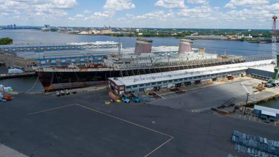
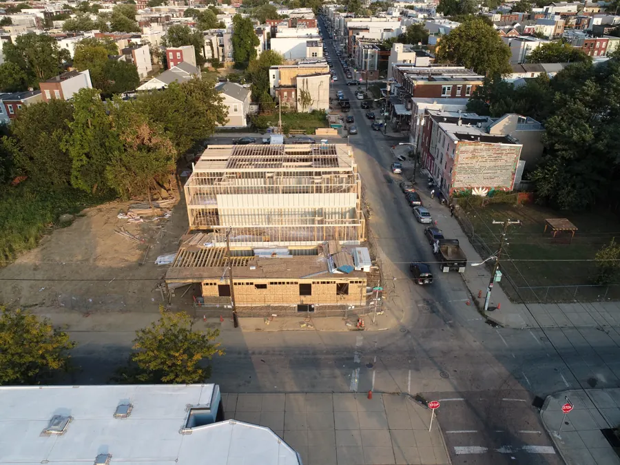
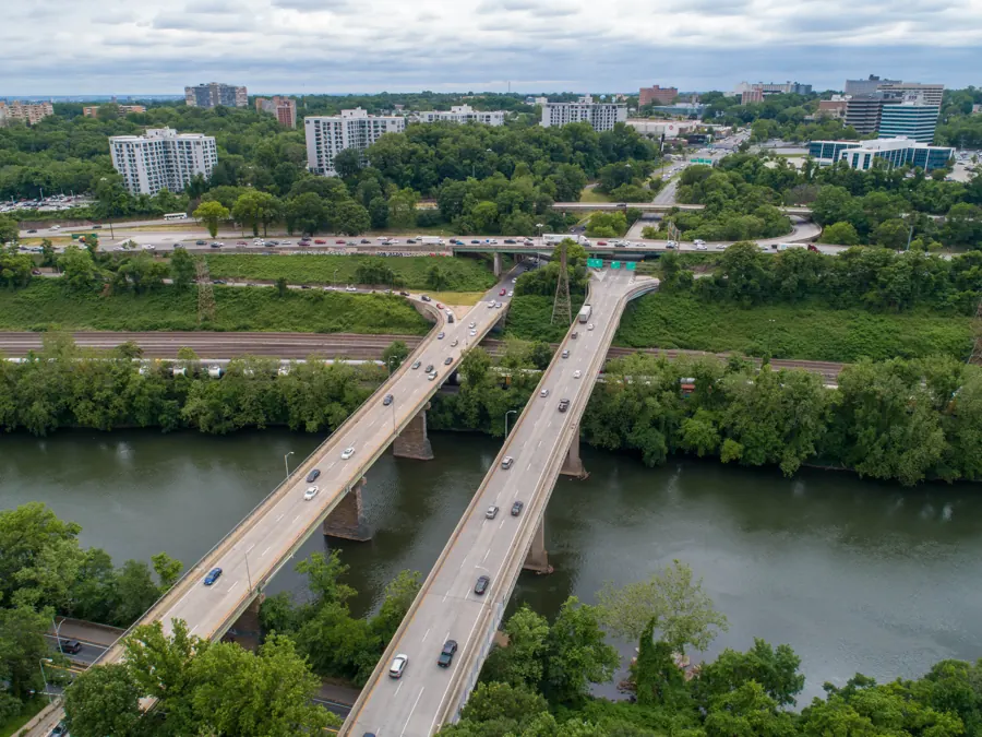
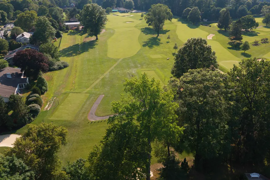
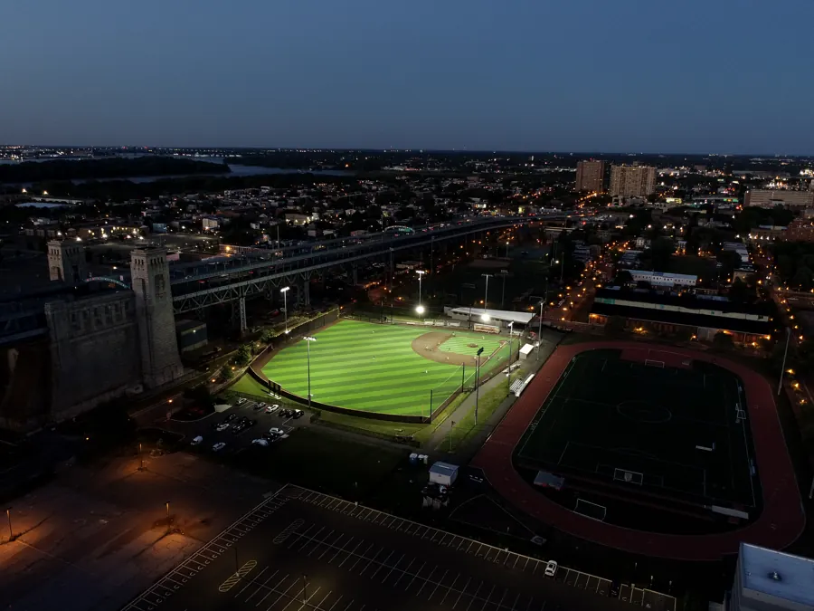
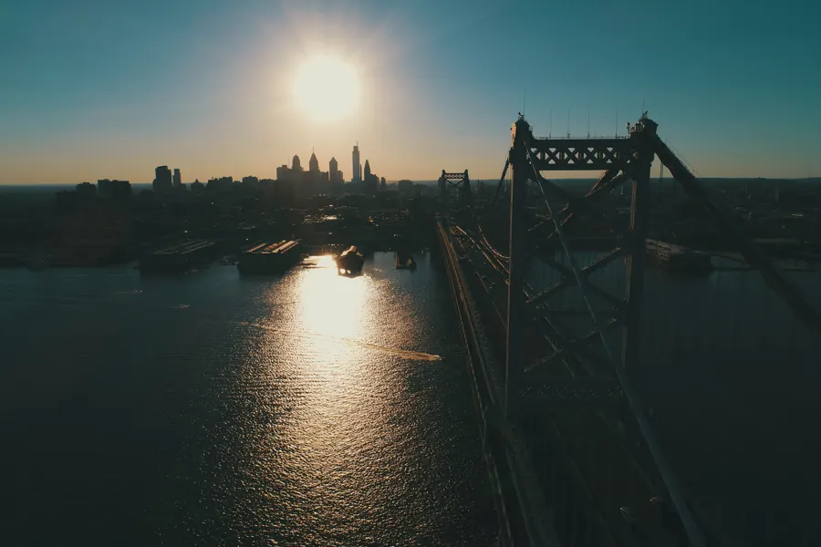
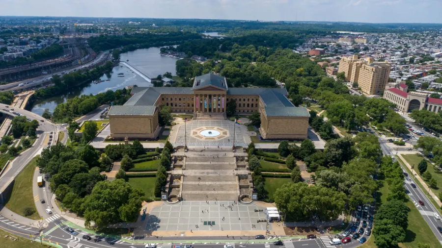
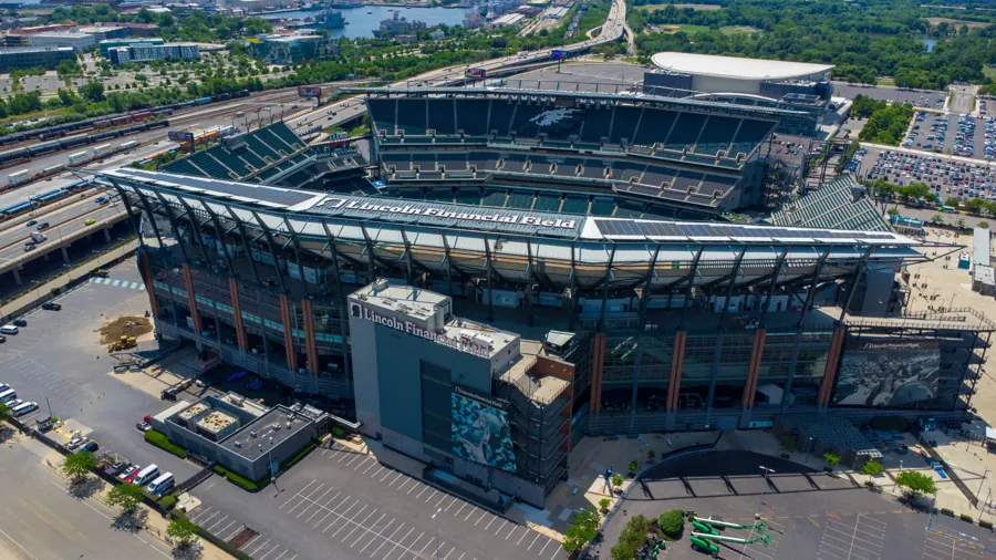
Recent frames
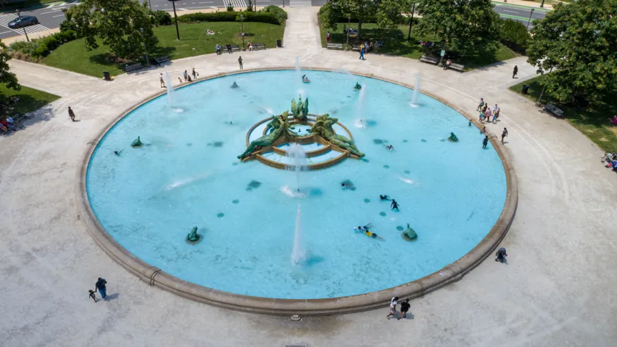
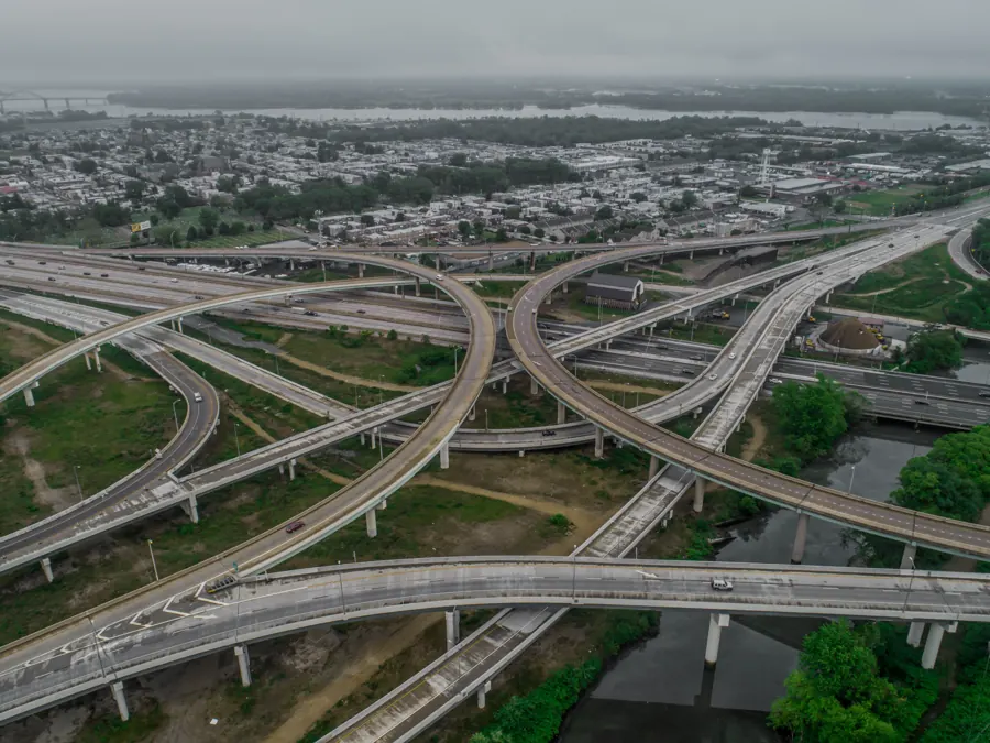
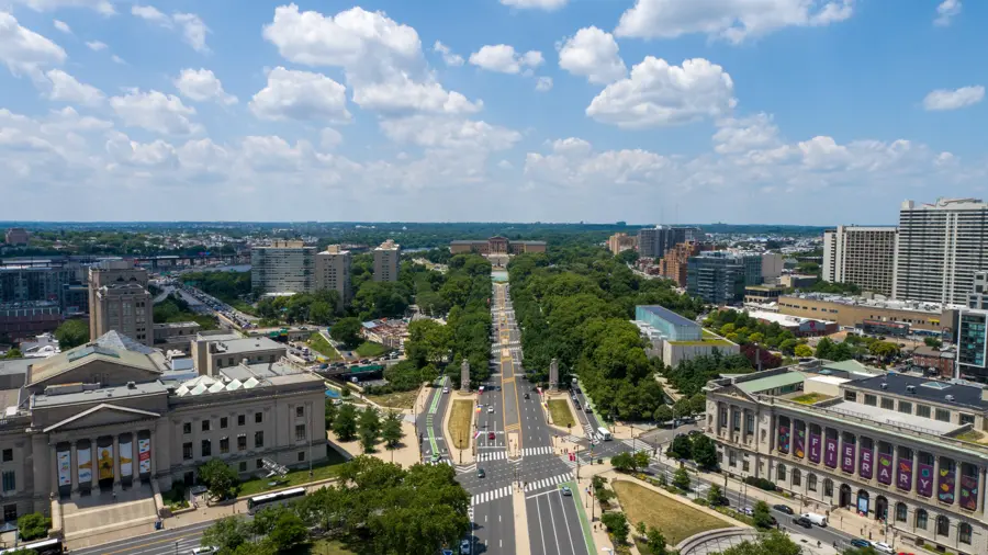
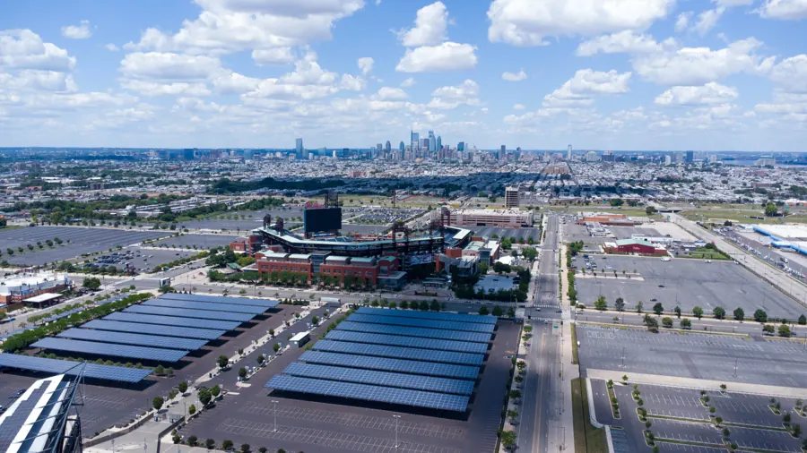
Footage and frames from Air Grandson flights over the Delaware Valley.

Also from Air Grandson
 Construction Site Monitoring
 Aerial Inspections
 Real Estate Media
 Golf Course Marketing & Mapping
 UAS Education & Training


Tell us about the site
Send the address, what you need captured and your timeline. Collin replies within one business day, or call (609) 413-0556.
Thanks. Collin will reach out within one business day.
Because analytics cookies are off, your email app opened with the request filled in. Press send there to finish, or write to airgrandson@gmail.com.