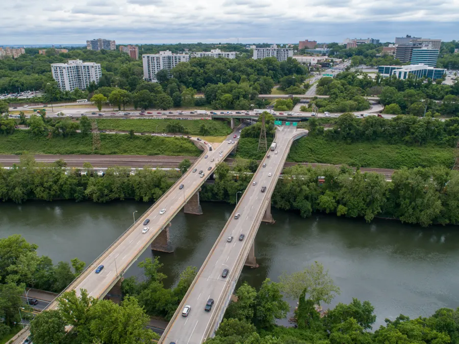
Close-range imagery of structures that are slow, costly or risky to reach by hand. Crews stay on the ground, the structure stays in service, and every inspection ends with annotated findings your team can act on.
Who it is for. Property managers, facility teams, utilities, telecom carriers, engineers and insurers who need to see a structure up close before they send people up.
How it is flown. Planned orbits and facade passes at close range, with high-resolution stills and 4K video. Thermal imagery is added when the job calls for it.
What you get. Annotated images, a written findings report and the full image set, organized by location on the structure.
Why it is safer. No one works at height to get the first look, and lifts or climbers are only sent where the imagery shows a real problem.
What you get,
file by file
Get a quote - JPG + PDFRoof and facadeMembranes, flashing, drainage, masonry and glazingProperty managers
- JPG + MP4Towers and linesCell towers, powerlines and communications equipmentUtilities, telecom
- JPG + PDFBridges and structuresCondition imagery of decks, bearings and supportsEngineers, owners
- ThermalEnergy and solarHeat loss and solar array checksFacilities, solar O&M
- PDFFindings reportAnnotated images and written notesInsurers, maintenance
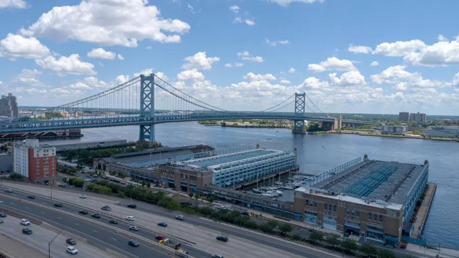
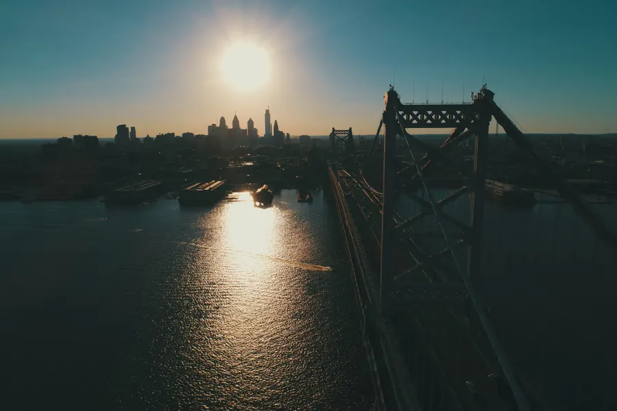
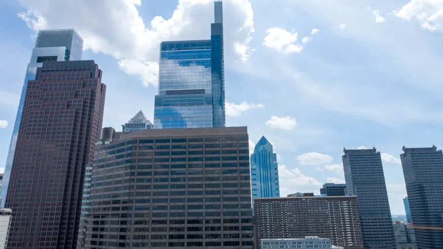
Recent frames
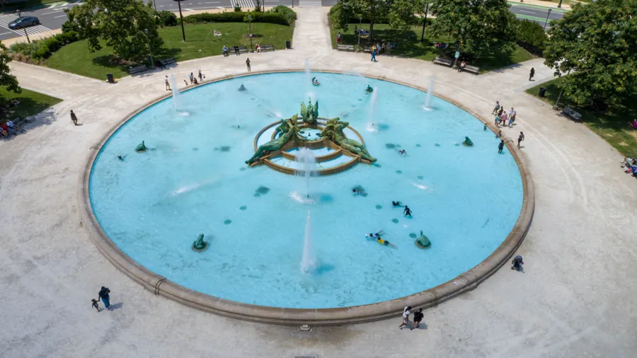
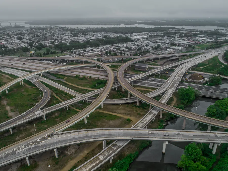
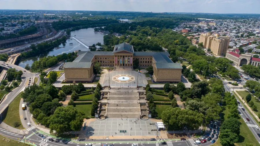
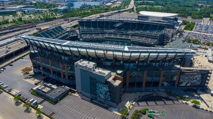
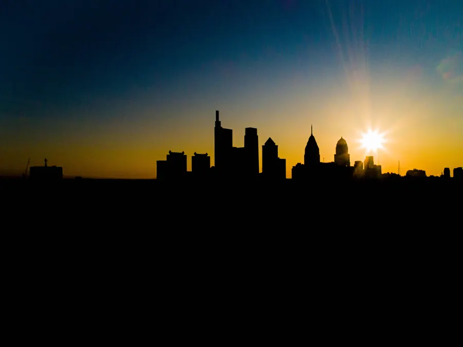
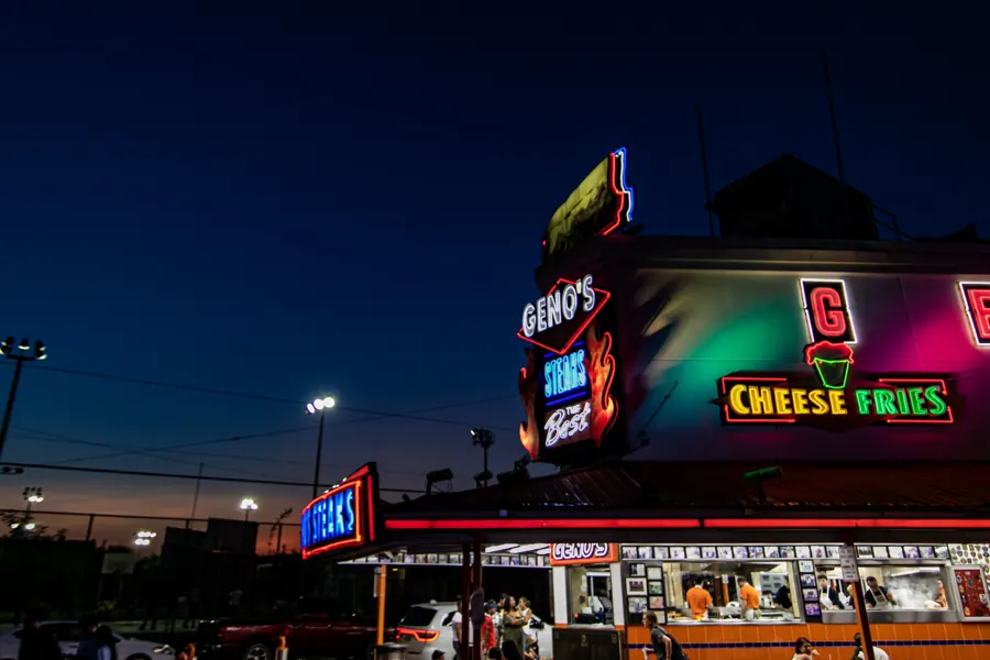
Footage and frames from Air Grandson flights over the Delaware Valley.


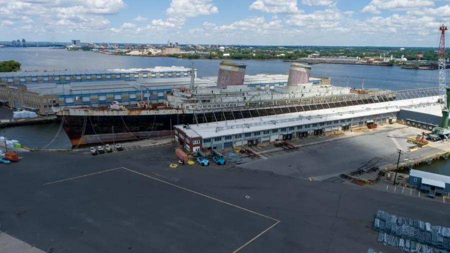
Also from Air Grandson
 Mapping & Surveying
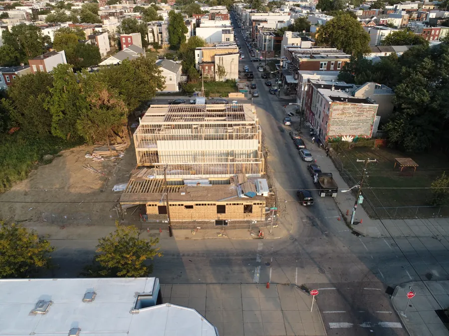 Construction Site Monitoring
 Real Estate Media
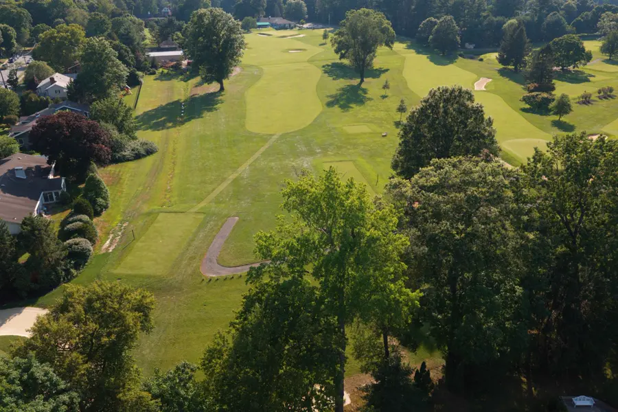 Golf Course Marketing & Mapping
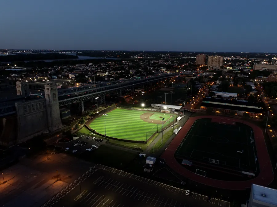 UAS Education & Training
Tell us about the site
Send the address, what you need captured and your timeline. Collin replies within one business day, or call (609) 413-0556.
Thanks. Collin will reach out within one business day.
Because analytics cookies are off, your email app opened with the request filled in. Press send there to finish, or write to airgrandson@gmail.com.