Air Grandson LLC is an FAA Part 107 certified drone company. We deliver aerial data and imaging to commercial, government and real estate clients across South Jersey and Greater Philadelphia, and we train new pilots to fly to the same standard.
Who we are. Founded in Willingboro in 2024 by Collin Coke, whose work spans aviation, education, photography, GIS and engineering, with more than five years in aerial imaging and orthomosaic processing.
What we deliver. Four service lines: UAS education and training, real estate photo and video, mapping and surveying, and infrastructure inspection. Each flight ends as maps, models, reports or footage.
Where we fly. Burlington, Camden, Gloucester and Mercer counties and the city of Philadelphia, with airspace checked and authorized before every job, including controlled airspace near the airport.
How to reach us. Call (609) 413-0556, write to airgrandson@gmail.com, or send the site details. You hear back within one business day.
Pick the altitude
3.5 cm
of ground in every pixel
630 ft
of ground across one frame
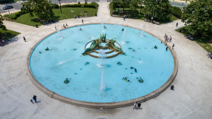
Swann Memorial Fountain at Logan Circle, one nadir frame cut across the board. Lower the flight and the frame tightens. The figures are calculated for a 20-megapixel, 1-inch camera, the kind used for Air Grandson's mapping work, and they are what sets the detail in every map we deliver.
Six kinds of work,
one crew
Get a quote Mapping & Surveying
- GeoTIFFOrthomosaic mapGeoreferenced, centimeter-level ground detailGIS, CAD, site plans
- DSM / DTMElevation modelsSurface and bare-earth models with contour linesEngineers, grading
- LAS / LAZPoint cloudDense 3D points from overlapping imagerySurvey, BIM
- OBJ / glTF3D reconstructionTextured mesh, a digital twin of the siteOwners, planners
- CSV / PDFVolumesStockpile, cut and fill measurementsContractors, aggregates
- SHP / KMLGIS layersReady for QGIS, ArcGIS or Google EarthMunicipal, environmental
- See mapping & surveying
Construction Site Monitoring
- JPG / MP4Progress setStills and 4K video from the same positions every visitPMs, superintendents
- GeoTIFFOrthomosaic per visitA measurable map of the whole siteEngineers, owners
- DSM + contoursElevation and gradingSurface models and contour linesSite work, civil
- CSV / PDFStockpile volumesCut and fill measurementsEstimators, aggregates
- MP4Update reelA short edit for owners, lenders and investorsOwners, marketing
- TeamingSubcontract supportDrone scope for primes on public programsPrimes, municipalities
- See construction site monitoring
Aerial Inspections
- JPG + PDFRoof and facadeMembranes, flashing, drainage, masonry and glazingProperty managers
- JPG + MP4Towers and linesCell towers, powerlines and communications equipmentUtilities, telecom
- JPG + PDFBridges and structuresCondition imagery of decks, bearings and supportsEngineers, owners
- ThermalEnergy and solarHeat loss and solar array checksFacilities, solar O&M
- PDFFindings reportAnnotated images and written notesInsurers, maintenance
- See aerial inspections
Real Estate Media
- JPGAerial and ground photosEdited interior, exterior and aerial setListing agents
- MP4Listing videoCinematic walkthrough and flyover editBrokers, builders
- JPGContext framesThe block, the parks, transit and landmarks nearbyBuyers, investors
- OBJ / link3D property modelA model of the property and its siteDevelopers
- PackageCommercial marketingSites and developments, from pre-sale to lease-upCommercial owners
- See real estate media
Golf Course Marketing & Mapping
- MP4Hole-by-hole flyoversTee to green, for the website and tee-box screensMarketing, pro shop
- GeoTIFFFull-course mapA measurable orthomosaic of the propertySuperintendents
- JPGTurf and drainageImagery for turf health and water movementGrounds crew
- MP4 / JPGEvents and tournamentsAerial coverage on the dayEvents, sponsors
- RetainerSeasonal packageRepeat flights through the seasonGeneral managers
- See golf course marketing & mapping
UAS Education & Training
- CourseFAA Part 107 exam prepAirspace, weather, regulations and operationsNew pilots
- Flight timeHands-on trainingFrom basic handling to mission flyingStudents, crews
- SimulatorSimulator and safetyPractice and emergency procedures before real aircraftBeginners
- WorkshopWorkforce developmentSessions for teams adding drones to their workEmployers
- ProgramYouth STEM and aerospaceMulti-week programs with community partnersSchools, camps
- See uas education & training
Airspace to files
Every job is planned, flown, processed and delivered by the same people. Nothing is handed off to a stranger halfway through, and you have one person to call from the first question to the last file.
Plan
Site review, scope and the deliverables you need. We set the flight height from the ground detail the job calls for, and draw the mission before anyone drives out.
Authorize
Airspace check for every site, LAANC or FAA authorization in controlled airspace, and a look at weather, crowds and nearby operations.
Fly
Planned missions with the overlap that mapping needs. Repeat visits fly the same file, so this month lines up with last month.
Process
Imagery processed in-house with WebODM and QGIS into orthomosaics, elevation models, point clouds, 3D models, edited video or annotated reports.
Deliver
Files in the formats your team already uses, GeoTIFF, LAS, OBJ, SHP, KML, PDF or MP4, through a shared link.
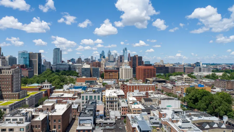
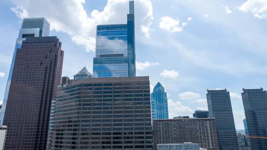
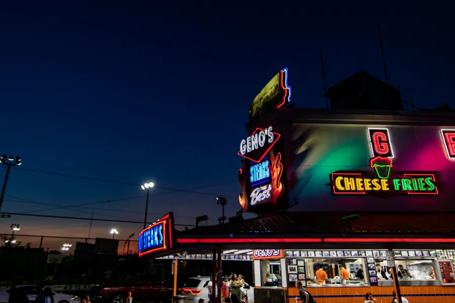
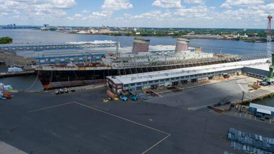
Recent frames
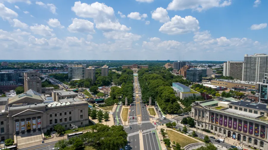
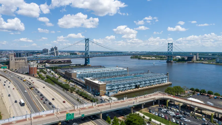
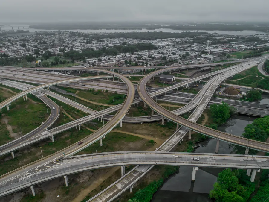
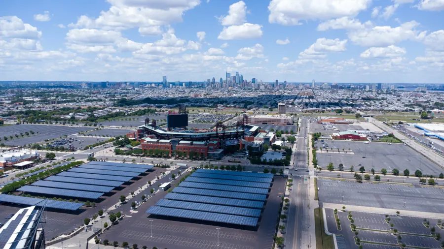
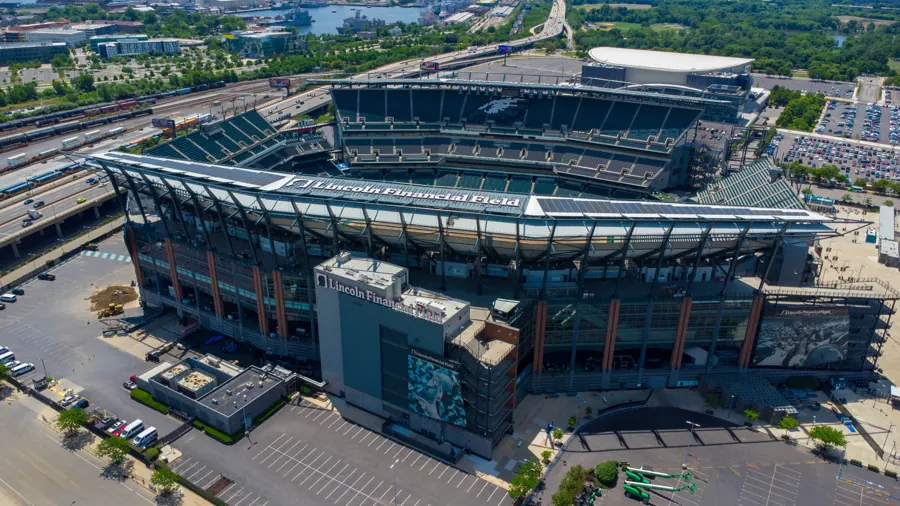
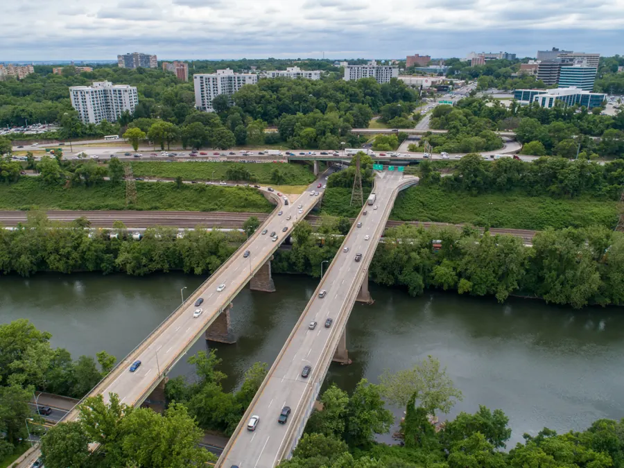
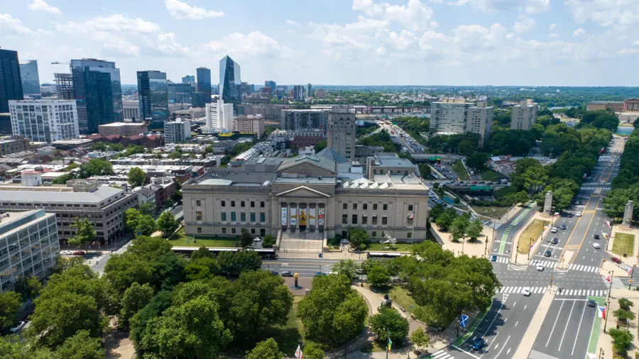
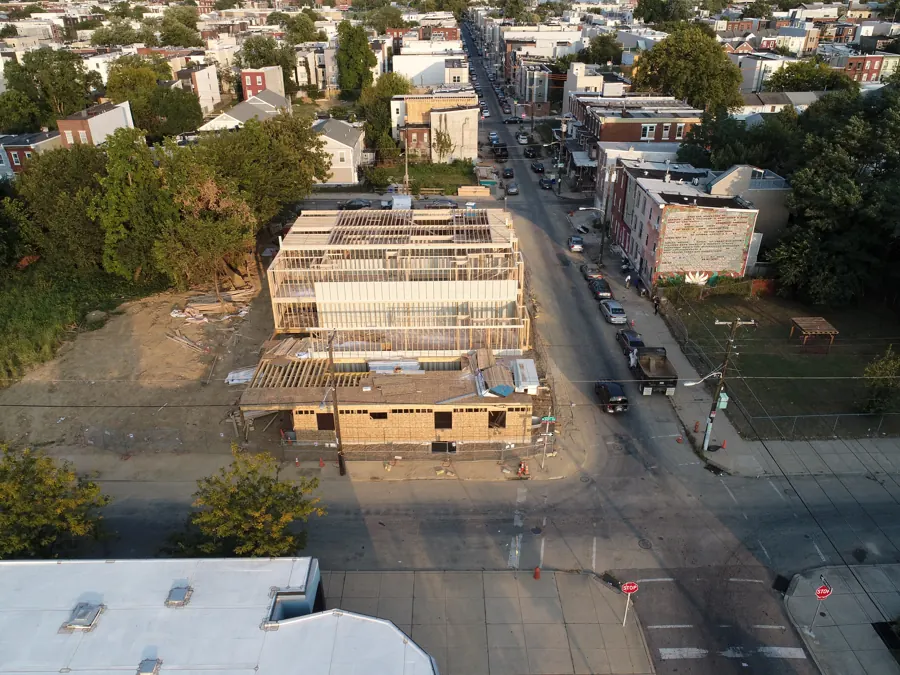
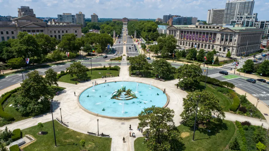
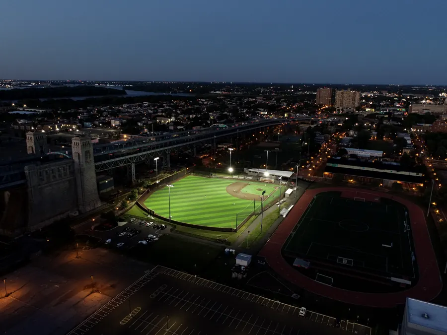
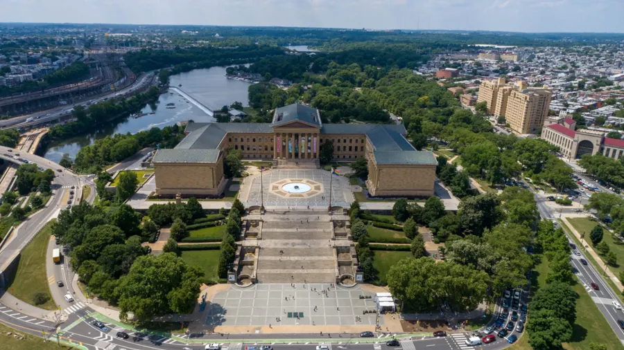
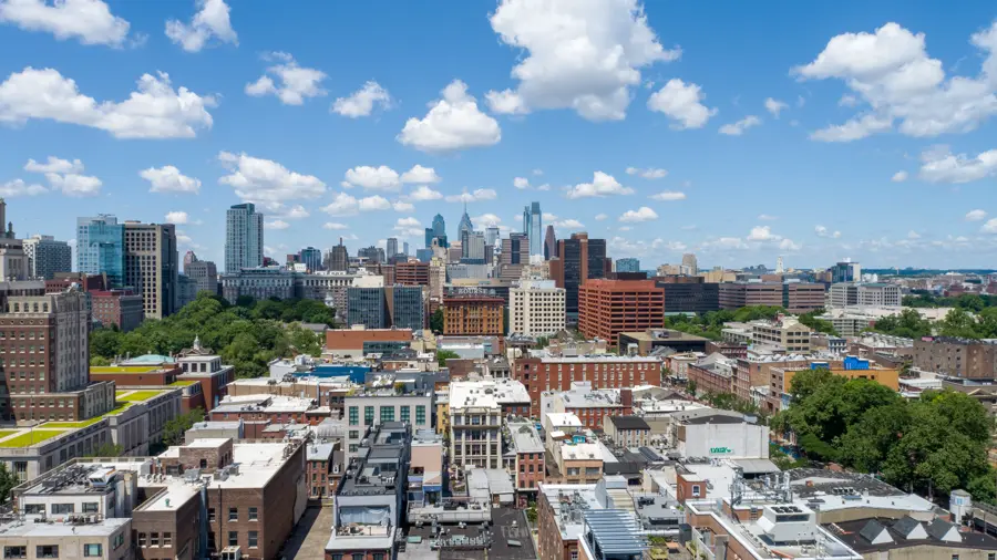
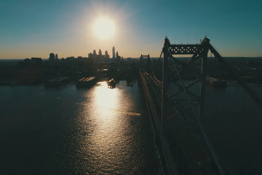
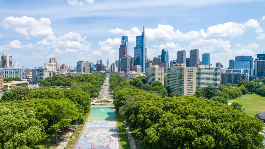
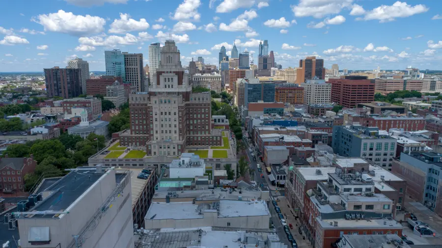
Recent frames from over the Delaware Valley: the river, the Parkway, the port and the neighborhoods between.




Certified and on record
Commercial drone work in the United States runs under FAA Part 107. These are the credentials and codes behind every Air Grandson job.
Collin Coke, chief pilot
Collin started Air Grandson in Willingboro in 2024 after years across aviation, education, photography, GIS and engineering. He flies every job, runs the data pipeline himself and teaches the training programs.
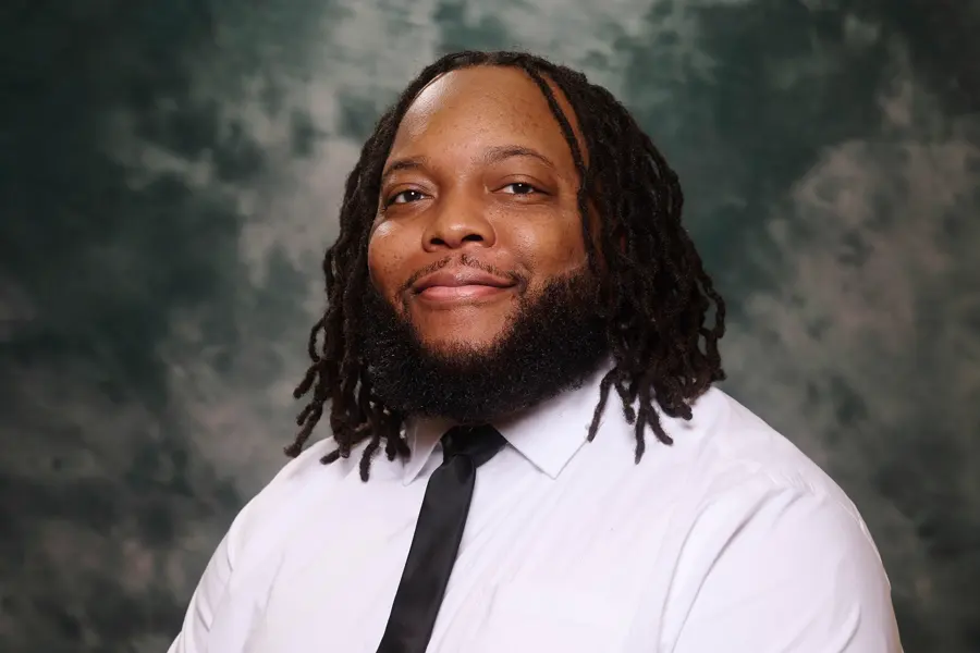
Founder and chief pilot
FAA Part 107 · Pilot Institute Mapping Foundations
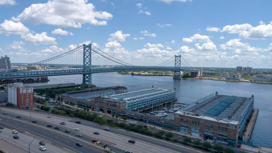
The Delaware River is the line between the two halves of our service area. Most weeks, we cross it more than once.
- Ceiling
- 400 ft above ground
- To City Hall
- 15 mi, straight line
- Season
- Year-round, weather allowing
- Local time
- 9:00 AM
Tell us about the site
Send the address, what you need captured and your timeline. Collin replies within one business day, or call (609) 413-0556.
Thanks. Collin will reach out within one business day.
Because analytics cookies are off, your email app opened with the request filled in. Press send there to finish, or write to airgrandson@gmail.com.