Repeatable progress flights over your site, delivered as photos, video, orthomosaic maps and stockpile volumes. The flight plan stays fixed from visit to visit, so week-over-week change is easy to compare and easy to show.
Who it is for. General contractors, owners, developers and lenders who need a record of progress, and primes who need a drone subcontractor on bridge, roadway and municipal programs.
How it is flown. A saved mission flown on your schedule: weekly, biweekly or at milestones. Same altitude, same angles, same frame, every time.
What you get. A photo and video set per visit, an orthomosaic map, elevation and contours when grading matters, stockpile volumes and a short update reel.
Turnaround. Progress photos can go out within a day of the flight. Maps and volumes follow on the date agreed in the quote.
What you get,
file by file
Get a quote - JPG / MP4Progress setStills and 4K video from the same positions every visitPMs, superintendents
- GeoTIFFOrthomosaic per visitA measurable map of the whole siteEngineers, owners
- DSM + contoursElevation and gradingSurface models and contour linesSite work, civil
- CSV / PDFStockpile volumesCut and fill measurementsEstimators, aggregates
- MP4Update reelA short edit for owners, lenders and investorsOwners, marketing
- TeamingSubcontract supportDrone scope for primes on public programsPrimes, municipalities
Recent frames
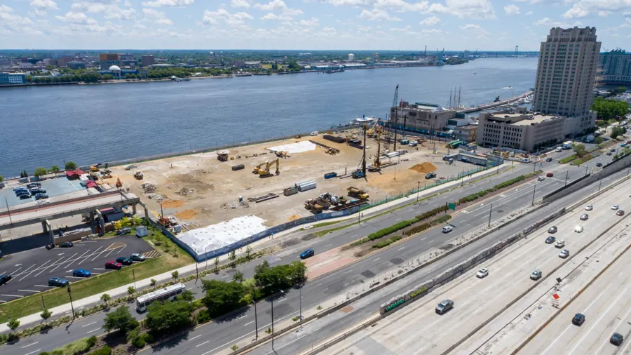
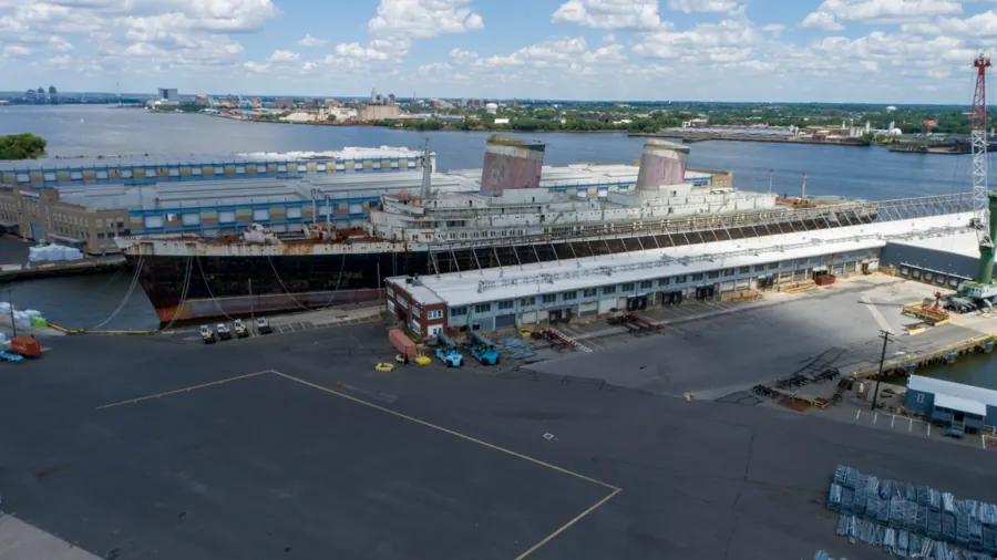
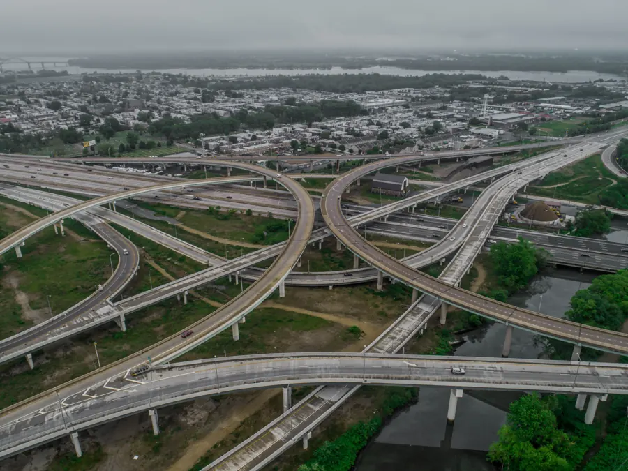
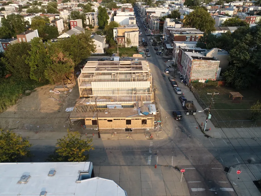
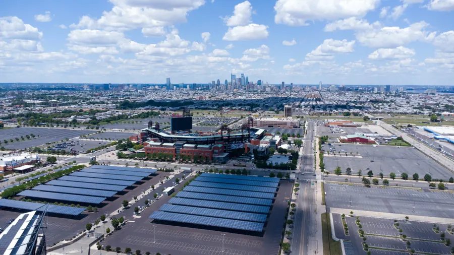
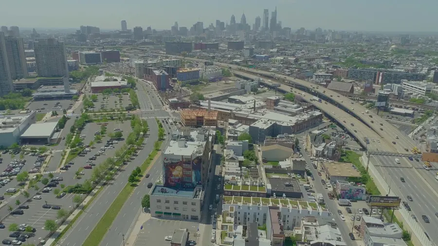
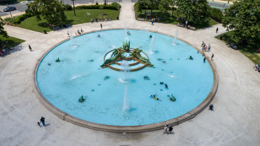
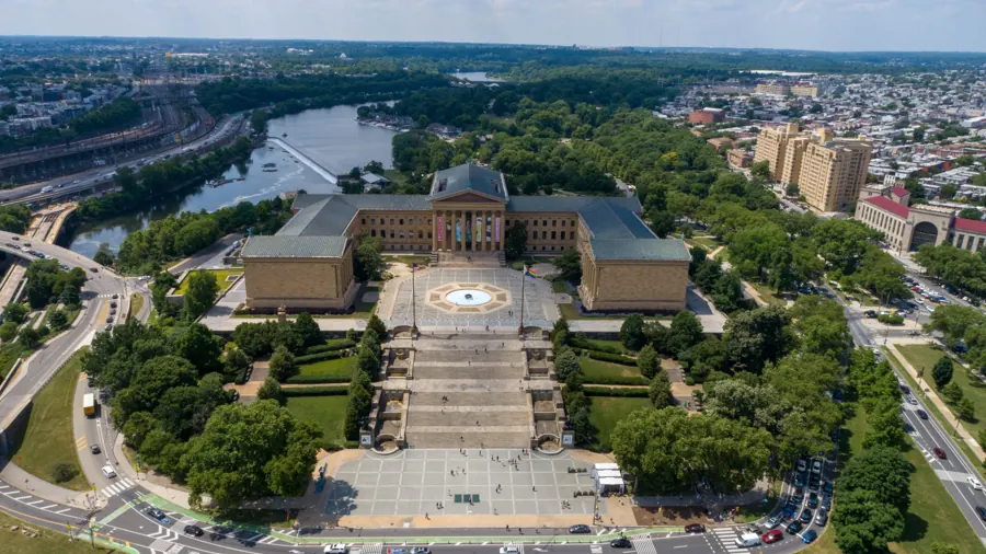
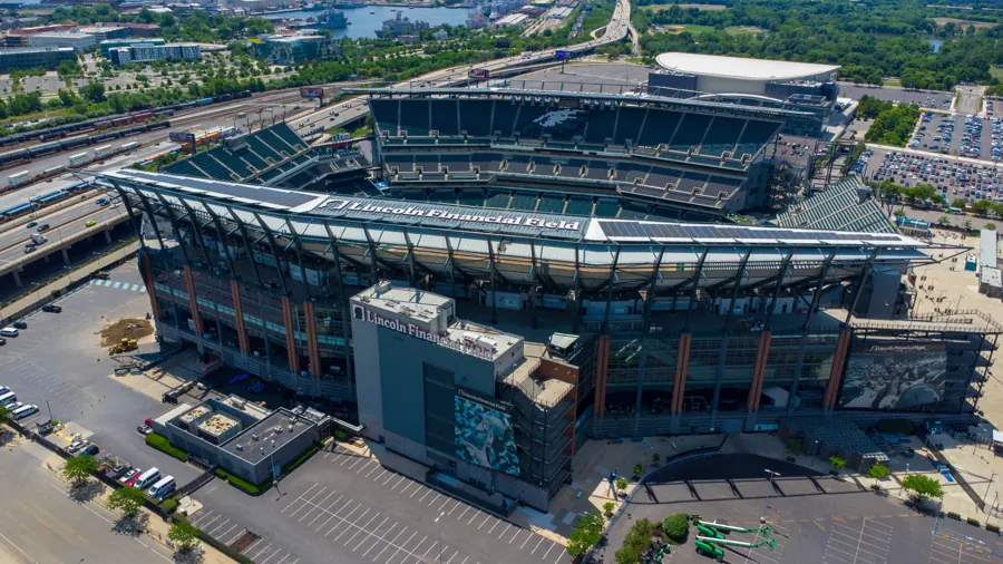
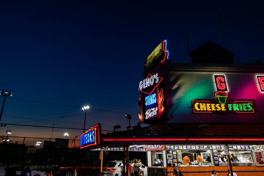
Footage and frames from Air Grandson flights over the Delaware Valley.
Also from Air Grandson
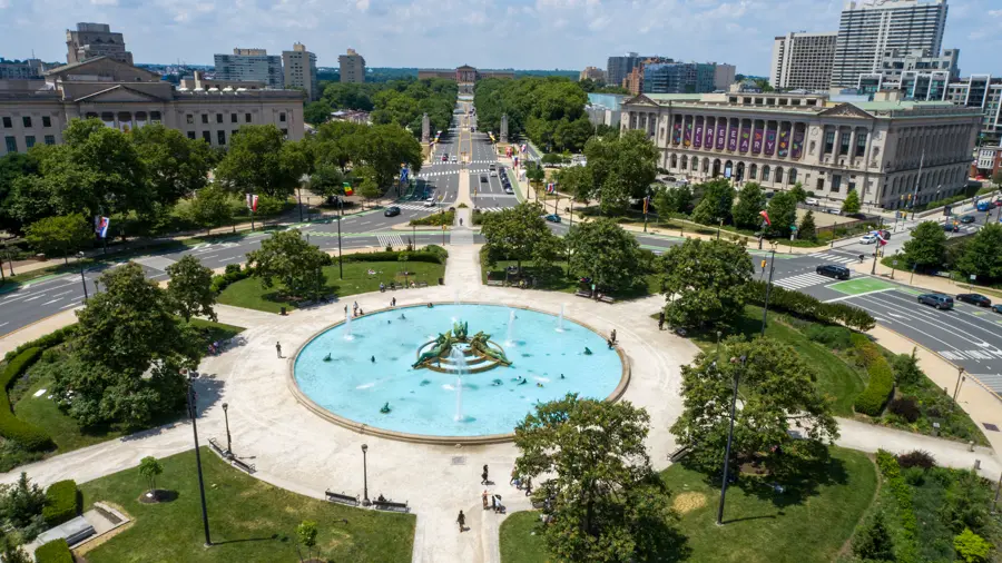 Mapping & Surveying
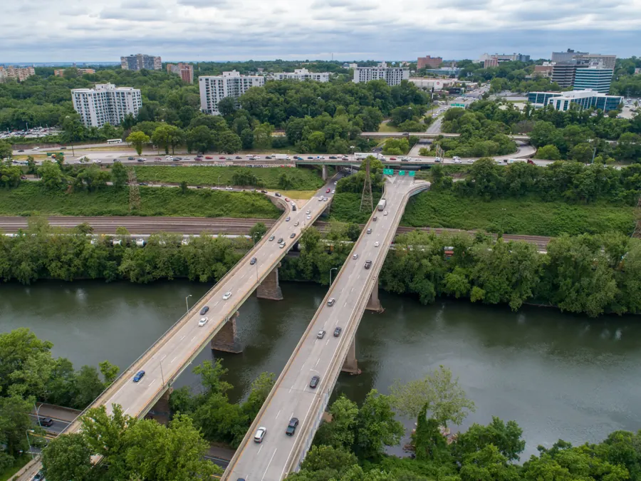 Aerial Inspections
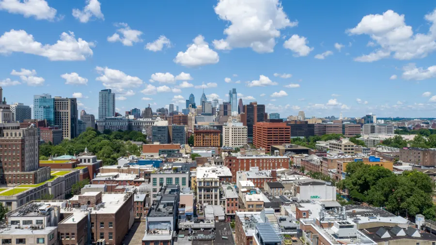 Real Estate Media
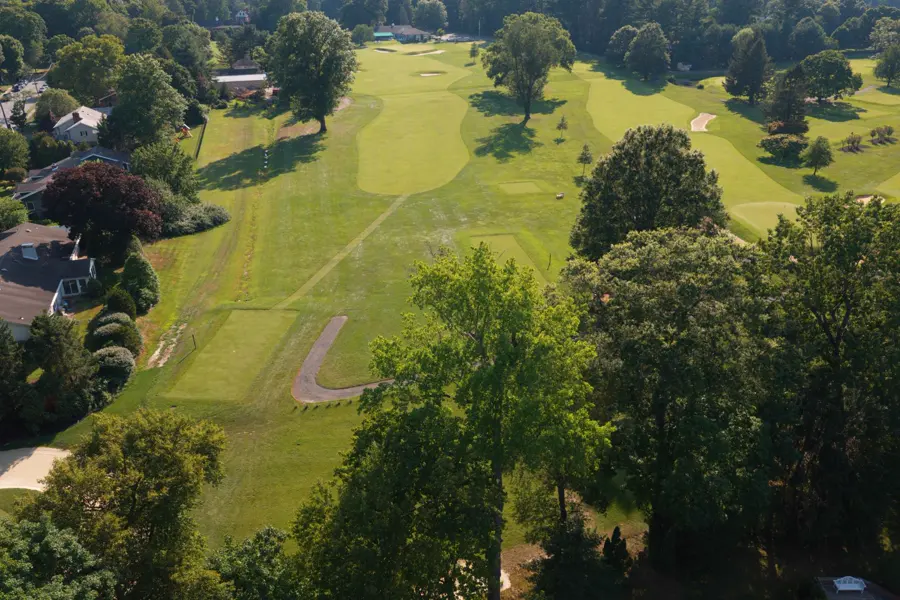 Golf Course Marketing & Mapping
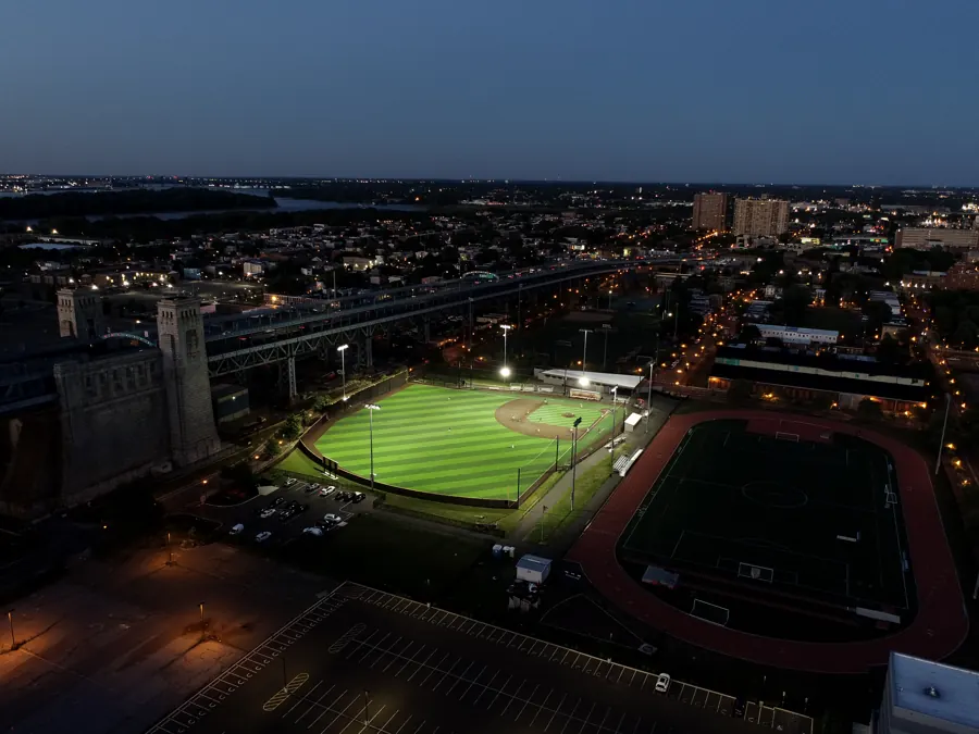 UAS Education & Training
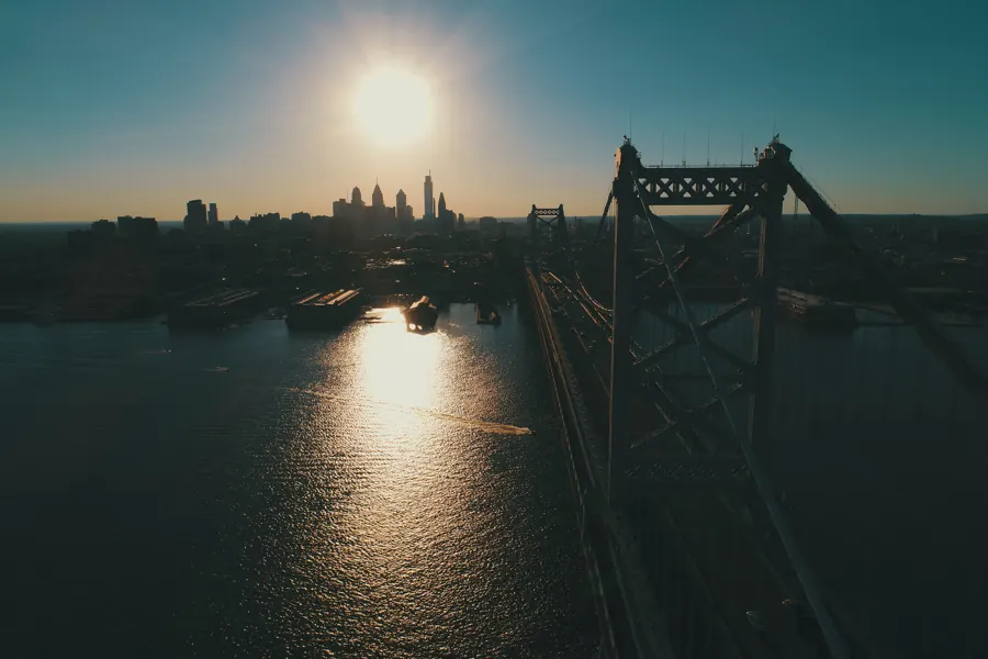


Tell us about the site
Send the address, what you need captured and your timeline. Collin replies within one business day, or call (609) 413-0556.
Thanks. Collin will reach out within one business day.
Because analytics cookies are off, your email app opened with the request filled in. Press send there to finish, or write to airgrandson@gmail.com.