
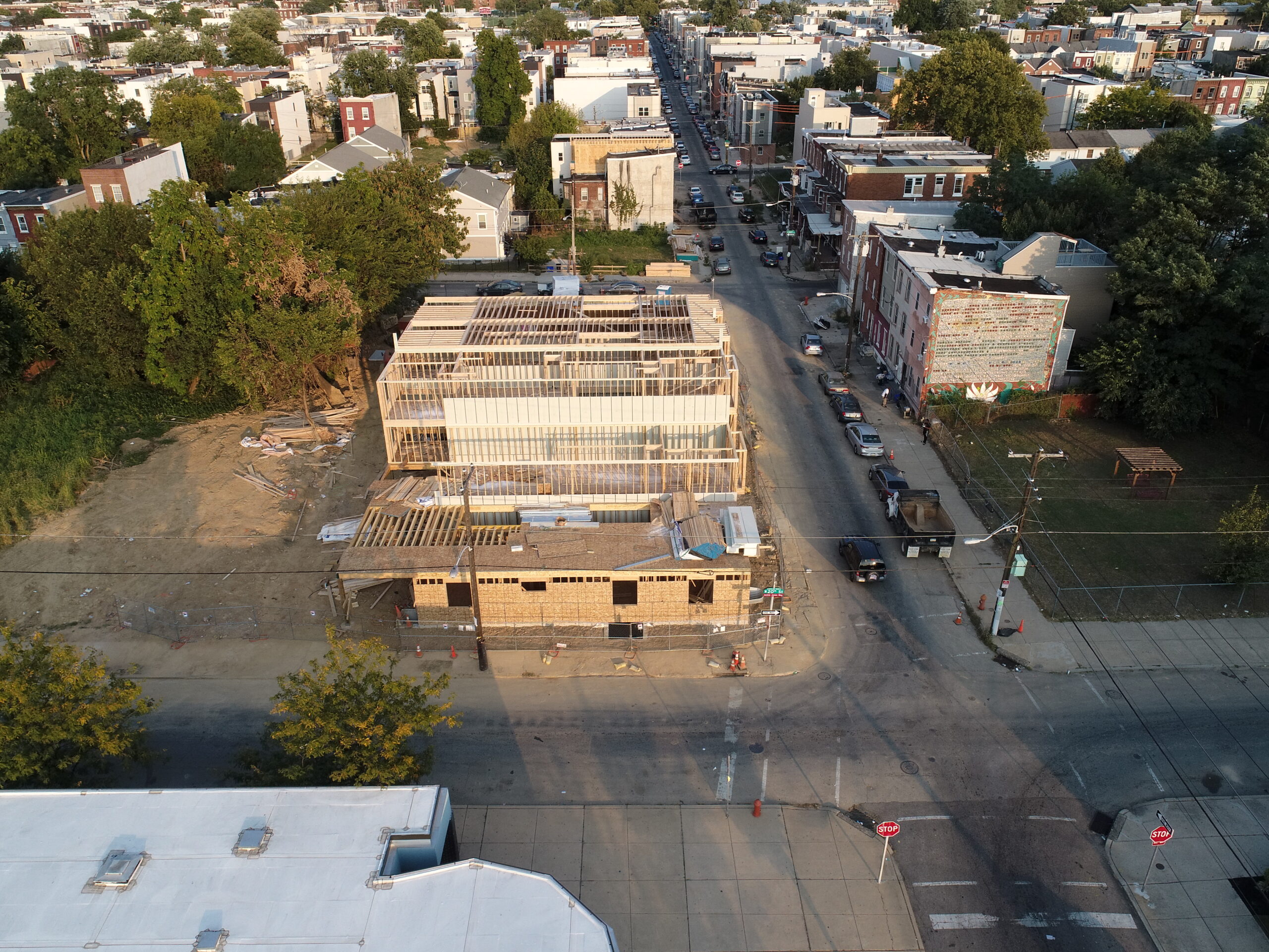
Urban Development Survey
High-resolution mapping of a new urban development project for city planners, showcasing advanced drone technology and detailed aerial imagery.
- High-quality aerial imagery
- Urban planning visuals
- Construction site mapping
Email Us
Reach out to us via email for inquiries, quotes, or support. We are committed to providing prompt and helpful responses to all our clients and partners. Send us an email today to start your drone project or learn more about our services.
Call Us
Prefer to speak directly? Call our dedicated support line during business hours. Our team is ready to assist you with any questions about our drone photography, mapping, or training services. (609) 413-0556 is the number to dial.